
Drone LiDAR and 3D Scanning Middlesbrough
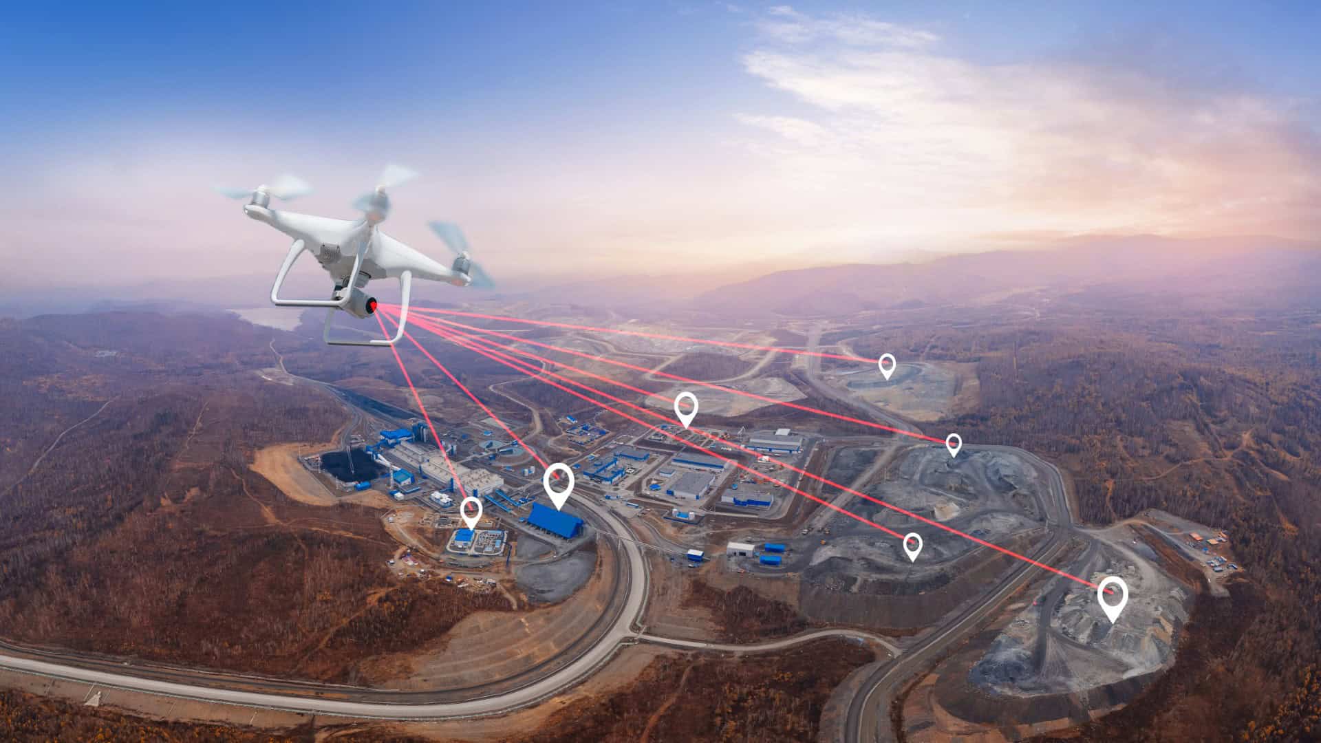
At Bottomley Drone Solutions, we provide professional drone LiDAR and 3D scanning services in Middlesbrough, delivering highly accurate spatial data and detailed three-dimensional models for construction, civil engineering and commercial applications. Our team uses advanced LiDAR technology to capture precise data efficiently, providing clients with the detailed information they need to plan, design and manage their projects effectively.
Get A Free Quote
Benefits of Drone LiDAR and 3D Scanning
Drone LiDAR and 3D scanning delivers highly detailed spatial data for construction, infrastructure and engineering projects across Middlesbrough and the wider North East.
Millimetre-Level Precision
LiDAR technology captures dense point cloud data with exceptional accuracy, suitable for the most demanding engineering and modelling requirements
Complex Environment Coverage
Capable of scanning structures, assets and terrain in environments where traditional ground-based methods are impractical or unsafe
Rapid Data Collection
Large and complex sites scanned efficiently in a fraction of the time compared to conventional survey methods, reducing project delays
BIM and CAD Ready Outputs
Point cloud data and 3D models delivered in formats compatible with leading BIM, CAD and GIS platforms for immediate use in design workflows
Improved Operator Safety
Remote scanning eliminates the need for operatives to access hazardous, restricted or difficult-to-reach areas during data collection
Fully Compliant Operations
All LiDAR and scanning flights are carried out under full CAA authorisation by experienced and insured operators with a strong safety record
Professional Drone LiDAR and 3D Scanning in Middlesbrough
LiDAR technology represents one of the most advanced methods available for capturing accurate spatial data, and when combined with drone operations it provides an exceptionally efficient and precise survey solution. At Bottomley Drone Solutions, we provide drone LiDAR and 3D scanning services across Middlesbrough and the wider North East, delivering high-quality data for a wide range of commercial and industrial applications.
Unlike traditional photogrammetry, LiDAR uses laser pulses to measure distances and capture millions of data points, producing highly accurate point clouds that can be processed into detailed 3D models. This makes it particularly well suited to complex environments, dense vegetation, infrastructure projects and applications where a high level of accuracy is essential. Our team is experienced in planning and executing LiDAR operations safely and efficiently across a variety of challenging environments and project types.
Detailed 3D Models for Construction and Infrastructure
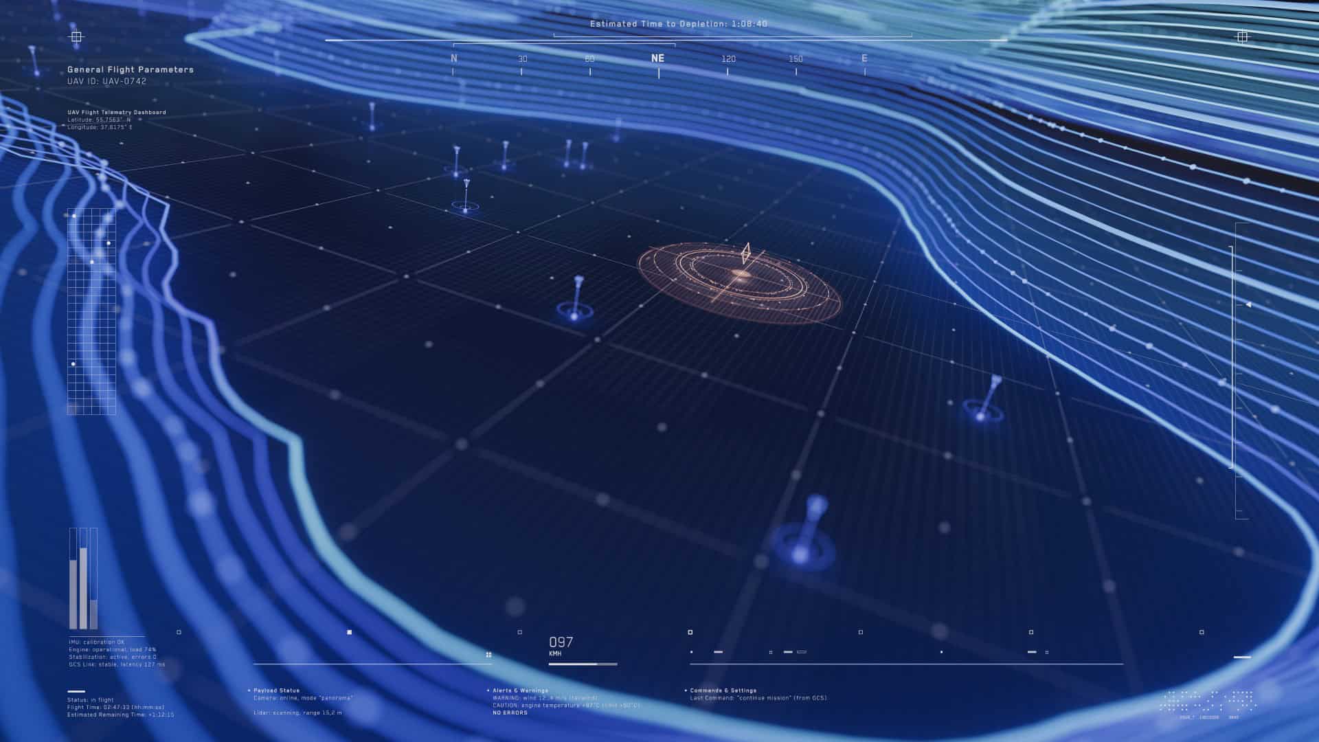
Detailed and accurate 3D models are increasingly essential for the planning, design and management of construction and infrastructure projects. At Bottomley Drone Solutions, our drone LiDAR and 3D scanning services produce precise models that give clients a comprehensive and reliable picture of their site, structure or asset.
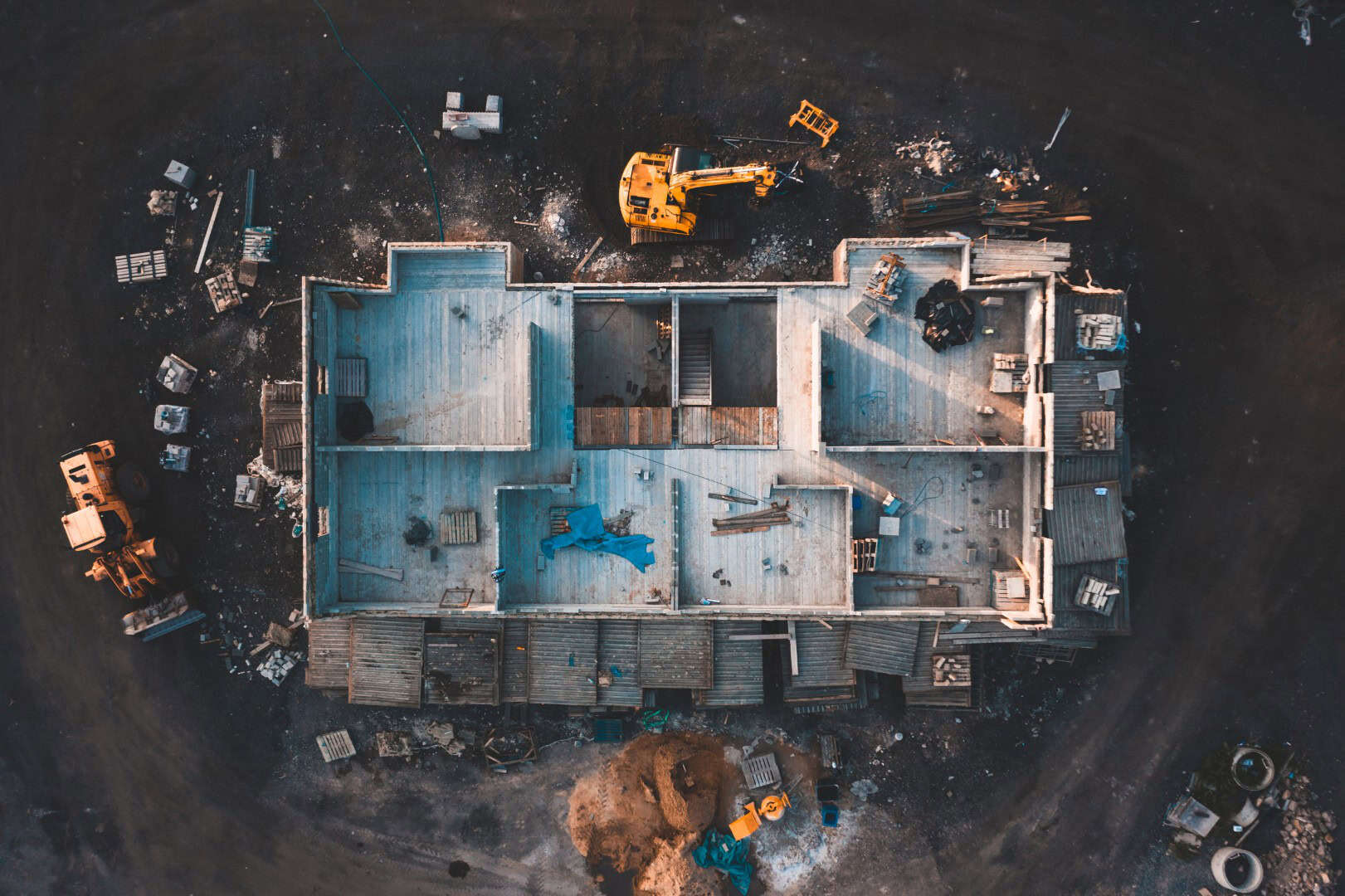
The point cloud data captured during a LiDAR scan can be processed into a range of outputs, including detailed 3D models, digital terrain models and building information modelling data. These outputs support a wide range of applications, from initial site assessment and design through to progress monitoring and asset management.
Drawing on the expertise of the wider Bottomley group in civil engineering, rail and utilities, we understand exactly what clients in these sectors require from their 3D data and ensure our outputs are delivered to the appropriate standard.
Where Drone LiDAR Outperforms Traditional Methods
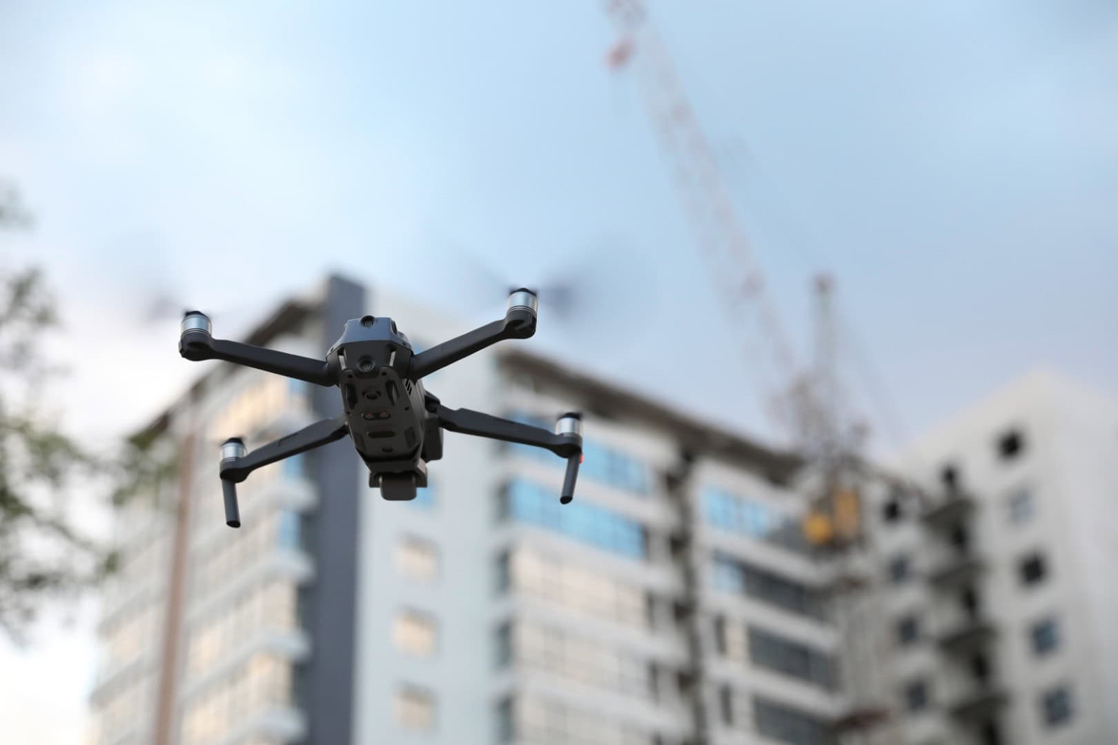
Traditional ground-based survey and scanning methods can be time-consuming, costly and difficult to execute safely in complex or restricted environments. Drone LiDAR addresses many of these challenges by delivering the same level of accuracy from the air, covering larger areas more quickly and reducing the need for personnel to work in potentially hazardous locations.
LiDAR is particularly effective in situations where photogrammetry alone may not provide sufficient accuracy or detail, such as in areas with complex geometry, dense vegetation or low-light conditions. It is also highly effective for capturing data on structures, assets and terrain where a high level of precision is critical. For projects requiring complementary survey data, our drone topographic surveys and land mapping services can be used alongside LiDAR to provide a more complete and detailed dataset.
Why Choose Bottomley Drone Solutions
Choosing the right company for drone LiDAR and 3D scanning in Middlesbrough is essential if you want accurate data and a professional, well-managed service. At Bottomley Drone Solutions, we combine advanced drone technology with deep technical knowledge of civil engineering and construction, ensuring that every LiDAR operation is carried out to the highest standard of accuracy and safety.
Our team takes a thorough approach to planning every operation, carrying out detailed risk assessments and ensuring full compliance with CAA regulations before any flight takes place. We maintain clear communication throughout every project, from initial briefing through to the delivery of final data outputs. If you would like to discuss a LiDAR scanning project or find out more about our drone services, you can get in touch with our team directly and we will be happy to assist.

Discuss Your Survey Project With Us
Trusted Aerial Solutions
Professional Drone Services You Can Rely On
- ✓ Drone Topographic Surveys and Land Mapping
- ✓ Drone LiDAR and 3D Scanning
- ✓ Drone Inspections
- ✓ Drone Photography and Videography
- ✓ Experienced, Compliant and Safety-Focused Team

Drone LiDAR and 3D Scanning Across Middlesbrough and Surrounding Areas
We provide drone LiDAR and 3D scanning services across Middlesbrough and the surrounding areas, including Stockton-on-Tees, Darlington, Hartlepool, Sunderland, Newcastle and the wider North East region. Our team regularly works on projects across the region and beyond, delivering consistent and high-quality data on every project we undertake.
Each operation is carefully planned and executed to ensure that all data captured meets the accuracy and quality requirements of the client and project. Whether you are based in Middlesbrough or a nearby area, we aim to provide a reliable and professional service that is straightforward to arrange. If you are unsure whether we cover your location or would like to discuss a specific project, our team will be happy to confirm and provide further information.
Frequently Asked Questions
If you are considering drone LiDAR and 3D scanning for your project, it is natural to have questions about the technology and what to expect. Below are some of the most common questions we receive from clients across Middlesbrough and the surrounding areas.
LiDAR stands for Light Detection and Ranging and is a remote sensing technology that uses laser pulses to measure distances and capture highly accurate spatial data. When mounted on a drone, LiDAR sensors emit thousands of laser pulses per second as the drone flies over the survey area, measuring the time it takes for each pulse to return after hitting a surface. This data is used to generate a dense point cloud, which can then be processed into detailed 3D models, digital terrain models and other outputs.
The key advantage of LiDAR over standard photogrammetry is its ability to penetrate vegetation and capture data in low-light conditions, making it particularly effective for complex environments. It also delivers a higher level of accuracy in many applications, making it the preferred choice for demanding civil engineering, infrastructure and construction projects.
Both drone LiDAR scanning and drone topographic surveys are used to capture spatial data about a site or area, but they use different technologies and are suited to different applications. Topographic surveys typically use photogrammetry, capturing overlapping images that are processed into maps and elevation models. LiDAR uses laser pulses to generate point cloud data, which generally offers a higher level of accuracy and is better suited to complex environments and applications requiring detailed 3D modelling.
In many cases, the two methods can be used together to provide a more complete and detailed dataset. Our drone topographic surveys and land mapping service can be combined with LiDAR scanning where a project requires both high-resolution imagery and precise three-dimensional data. Our team will advise on the most appropriate approach based on your specific requirements.
We can provide a range of outputs from a drone LiDAR scan, including point cloud data, digital terrain models, digital surface models, 3D models and building information modelling data. The specific outputs delivered will depend on the requirements of the project and the software used for processing.
These outputs are widely used in civil engineering, construction and infrastructure sectors for planning, design and asset management purposes. In some cases, LiDAR data can also complement drone inspections by providing accurate dimensional data on structures and assets, helping to identify areas that require closer examination. Our team will work with you to ensure the outputs are delivered in the most appropriate format for your project workflow.
Yes, we provide drone LiDAR and 3D scanning services across Middlesbrough and the surrounding areas, including Stockton-on-Tees, Darlington, Hartlepool, Sunderland, Newcastle and the wider North East region. We also work on projects further afield where required, drawing on the national reach of the wider Bottomley group.
If you are unsure whether we cover your location or would like to discuss a specific project, you can get in touch directly and our team will be happy to confirm and arrange the next steps. We aim to provide a reliable, professional and well-organised service wherever we operate, delivering consistent results on every project.