
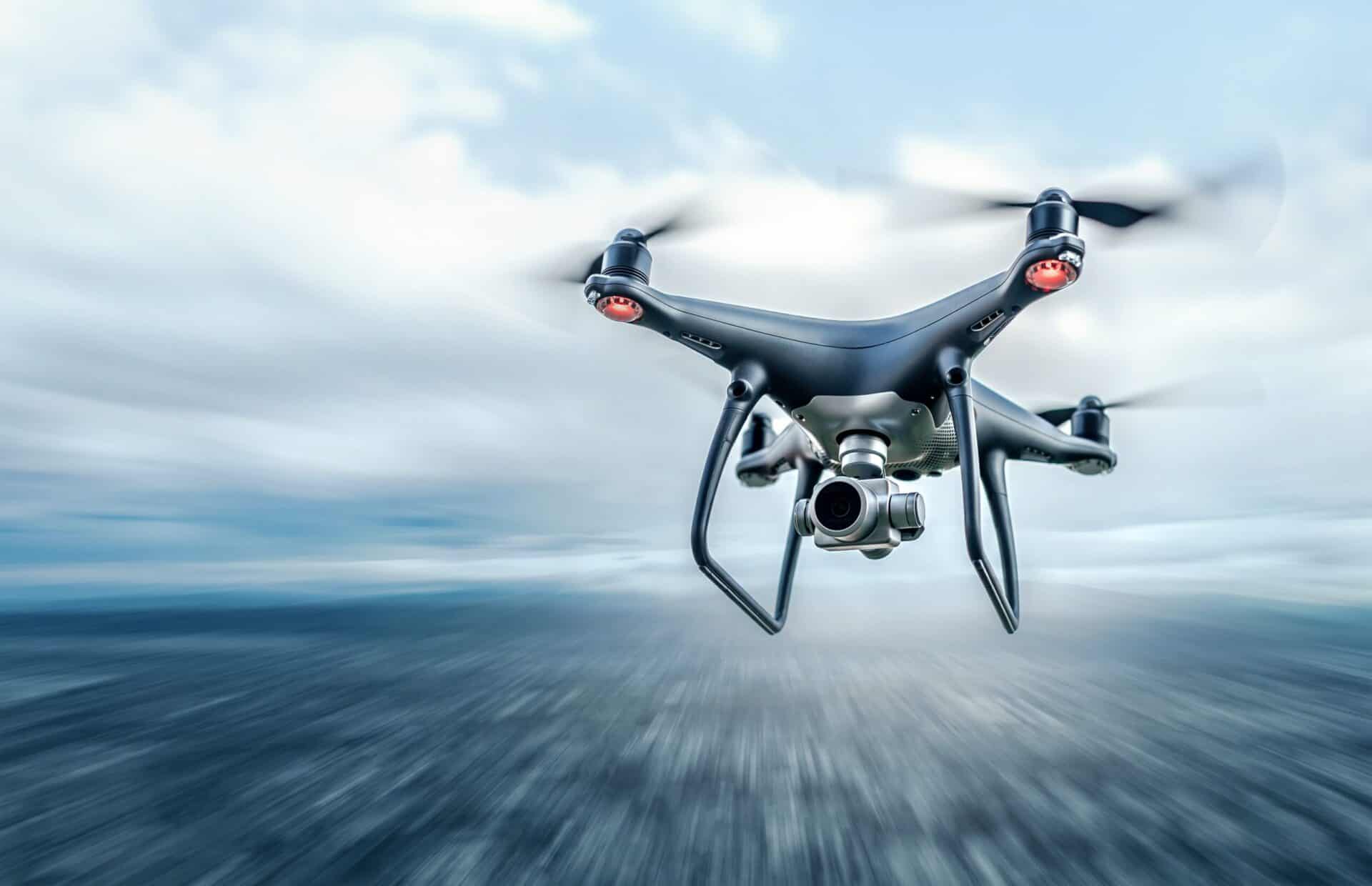
Construction and civil engineering projects depend on accurate information, particularly when teams work across complex sites, manage tight deadlines or coordinate multiple contractors. Throughout Newcastle and the wider Tyne and Wear region, drone surveys offer an efficient way to gather detailed information about land, buildings and infrastructure.
From initial site assessments to construction progress monitoring, modern drone technology helps project teams improve planning, monitor developments and reduce the need for personnel to access certain hazardous locations. At Bottomley Drone Solutions, our professional drone services in Newcastle support construction, commercial and civil engineering clients who require dependable aerial data and specialist surveying solutions.
How Drone Surveys Support Modern Construction Projects
Traditionally, collecting information across a construction site involved extensive ground measurements, manual inspections and repeated visits to different areas of a development. Although these methods remain essential in many circumstances, drones provide an additional perspective that can make information gathering more efficient.
Using advanced aerial surveying technology, project teams can capture detailed information across large areas, document existing site conditions and develop visual records to support planning and ongoing management. This approach proves particularly useful for projects involving extensive land, challenging terrain, elevated structures or locations with restricted access.
Drone surveying can support several stages of a construction project, from understanding the existing landscape before work begins to recording progress as development continues.
The information collected also complements traditional surveying techniques, giving engineers, designers and contractors a broader understanding of their surroundings.
For Newcastle’s construction and infrastructure sectors, this flexibility offers practical advantages across urban developments, industrial facilities and larger engineering projects.
Accurate Topographic Surveys for Planning and Development
Understanding a site’s existing characteristics is fundamental to successful construction planning. Before design or engineering work progresses, project teams often require detailed information about ground levels, terrain features, boundaries and surrounding conditions.
Our drone topographic surveys in Newcastle provide an efficient method of capturing aerial information that can contribute to this process.
Depending on the surveying method and project requirements, drone-collected information can produce detailed mapping outputs. These include digital surface models (DSM), digital terrain models (DTM), point clouds and orthomosaic imagery.
These drone surveys help engineers and designers understand the physical characteristics of a location, identify potential constraints and make informed decisions during the early stages of development.
However, aerial surveying should not automatically replace conventional land surveying. Appropriate ground control, independent checks and suitable survey methodology remain important, particularly where projects demand specific positional tolerances.
By combining aerial information with established surveying practices where required, construction teams can develop a more comprehensive understanding of their site.
The Role of LiDAR and 3D Scanning in Complex Environments
Not every construction site presents the same surveying challenges. Some locations contain vegetation, irregular terrain, complex structures or physical obstacles that make collecting accurate information more demanding.
This is where technologies such as LiDAR and photogrammetry become particularly valuable.
Photogrammetry uses overlapping photographs to reconstruct surfaces and create detailed visual representations of an area. It works particularly well for capturing site imagery, producing orthomosaics and generating realistic three-dimensional models where conditions are suitable.
LiDAR operates differently, using laser measurements to collect spatial information and generate detailed point cloud datasets.
One advantage of LiDAR is its ability to record multiple laser returns through gaps in vegetation. This helps distinguish ground surfaces from surrounding foliage, although dense vegetation can still restrict the amount of usable ground information.
For projects involving uneven terrain, embankments or more complicated environments, drone LiDAR and 3D scanning in Newcastle can provide valuable information to support engineering assessments and site planning.
Neither technology is universally superior. The appropriate method depends on the location, environmental conditions, required accuracy and intended deliverables.
For a more detailed technical comparison, our existing article on drone LiDAR versus photogrammetry for North East construction sites explores the differences between these surveying approaches.
Improving Structural Inspections and Site Safety
Construction and civil engineering projects frequently involve buildings, roof structures, bridges, industrial structures and infrastructure assets that require visual assessment.
Accessing these locations through conventional methods can sometimes involve working at height, specialist access equipment or temporary restrictions around operational areas.
Professional drone inspections in Newcastle offer an alternative method of collecting detailed visual information, allowing operators to examine suitable structures and assets remotely.
High-resolution aerial imagery can help identify visible areas of concern, document existing conditions and provide useful records for engineers, maintenance teams and property managers.
This approach offers particular advantages when assessing elevated or difficult-to-reach surfaces. It can reduce the need for personnel to physically access certain locations during preliminary inspections.
Nevertheless, drone inspections have limitations. They cannot replace every form of physical assessment, particularly where structural testing, tactile examination or investigation of concealed defects is necessary.
Instead, they provide valuable supporting information that helps professionals determine whether further investigation is required and plan subsequent work more effectively.
Construction Progress Monitoring and Aerial Photography
As construction projects develop, maintaining accurate records of progress becomes increasingly important. Project managers need to understand how work advances, communicate developments to stakeholders and identify potential issues before they affect later stages.
Drone photography and videography provide an effective way to document construction activity from an elevated perspective.
By capturing aerial imagery at suitable intervals, project teams can establish a visual record of how a site changes throughout its development. This supports internal reporting, contractor coordination, stakeholder presentations and ongoing project documentation.
Our drone photography and videography services in Newcastle support construction and commercial clients who require professional aerial imagery tailored to their individual requirements.
Beyond progress monitoring, aerial photography also helps communicate the scale and layout of larger developments. This proves particularly useful where conventional ground-level photographs cannot adequately capture the surrounding environment.
When combined with other surveying services, visual records contribute to a more complete understanding of site conditions and ongoing construction activity.
Why Professional Drone Operations Matter in Newcastle
Operating drones in a busy urban environment requires considerably more preparation than simply arriving at a location and launching an aircraft.
Newcastle contains residential neighbourhoods, commercial premises, transport infrastructure, public spaces and areas where operational restrictions may apply. These considerations make careful planning essential for professional drone surveying and inspection work.
In the UK, the Civil Aviation Authority (CAA) regulates drone operations according to the nature and risk of the proposed activity.
Some operations can take place within the Open Category, provided operators satisfy all applicable conditions. More complex activities may fall within the Specific Category, which requires an appropriate CAA operational authorisation.
Operators must also assess individual sites for relevant airspace restrictions, surrounding activity and other operational considerations.
For construction companies commissioning drone services, understanding these requirements is important when selecting a provider and planning work around an active development.
Further information about the applicable framework is available through the Civil Aviation Authority’s guidance on Specific Category drone operations.
Supporting Construction and Infrastructure Across Newcastle
Newcastle and the surrounding Tyne and Wear region contain a varied mix of development environments. These range from established city-centre buildings and riverside locations to industrial premises, transport corridors and areas undergoing regeneration.
Each environment presents different considerations for construction and civil engineering teams.
For example, surveying a constrained urban development may require a different approach from capturing topographic information across a larger industrial site. Similarly, assessing an elevated structure involves different operational considerations from documenting construction progress across an open development area.
Drone technology offers flexibility across these applications, but the surveying method should always reflect the specific requirements of the project.
At Bottomley Drone Solutions, we provide professional aerial services for commercial, industrial and civil engineering clients throughout Newcastle, Gateshead and the wider North East.
Whether your project requires detailed land information, structural imagery or specialist three-dimensional surveying, our team can discuss the available options and help establish an appropriate approach.
Discuss Your Newcastle Drone Survey Requirements
As construction and civil engineering projects become increasingly dependent on accurate digital information, drone surveying offers another valuable method of understanding, documenting and managing development sites.
From initial topographic assessments to inspections and ongoing progress monitoring, drone surveys provide practical benefits when incorporated into a carefully planned surveying strategy.
At Bottomley Drone Solutions, we combine technical experience with professional drone services tailored to individual project requirements. If you are planning construction, infrastructure or commercial work in Newcastle, contact our team to discuss your requirements and request a free, no-obligation quotation.