

Civil Engineers in Middlesbrough
Bottomley Drone Solutions provides professional drone surveying and inspection support for civil engineers in Middlesbrough. We capture accurate aerial information for construction, infrastructure, rail, utility and land development projects, helping engineering teams assess existing sites and monitor work as it progresses.
Our services include drone topographic surveys, LiDAR and 3D scanning, infrastructure inspections, aerial mapping and construction photography. Drawing on the wider Bottomley group’s civil engineering experience, we provide carefully planned drone operations and reliable outputs suited to demanding commercial and infrastructure environments.
Get A Free Quote
Benefits of Drone Technology for Civil Engineering
Drone surveying can help civil engineers capture detailed site information efficiently while reducing unnecessary access across extensive or potentially hazardous locations.
Accurate Survey Information
Professional aerial sensors capture detailed information about terrain, structures, visible features and existing site conditions.
Efficient Site Mobilisation
Drone operations can cover large construction sites and infrastructure corridors without prolonged ground-level data collection.
Safer Visual Inspections
Elevated and restricted assets can be documented while reducing unnecessary physical access close to potential hazards.
Versatile Digital Outputs
Data can be processed into orthomosaic maps, elevation models, point clouds, contours and detailed three-dimensional site representations.
Reliable Progress Records
Repeat drone visits provide consistent imagery for monitoring earthworks, structures, infrastructure and wider construction activity.
Professional Flight Planning
Every operation is assessed and completed by experienced, insured operators following applicable CAA requirements.
Engineering-Focused Drone Surveys in Middlesbrough
Civil engineering projects rely on accurate information about the site, existing infrastructure and surrounding environment. At Bottomley Drone Solutions, we provide aerial surveying and inspection services for engineers, developers, contractors and infrastructure organisations throughout Middlesbrough and the wider Teesside area.
Our drone services can support projects from initial feasibility and design through to construction monitoring and infrastructure maintenance. Capturing data from above provides a detailed overview of the complete survey area, helping project teams understand the relationship between terrain, structures, access routes and neighbouring features.
As part of the wider Bottomley group, we understand how civil engineering projects are planned and delivered. This technical background allows us to discuss the intended application of the survey data and prepare an operation around the requirements of the engineering team, rather than simply supplying general aerial photographs.
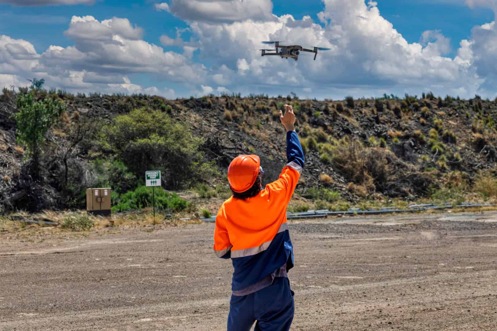
Aerial Mapping for Teesside Infrastructure and Development
Middlesbrough and the surrounding Teesside area contain a broad mix of transport infrastructure, utilities, industrial land, commercial development and regeneration sites. These environments can involve extensive survey areas, active operations, restricted access and existing structures that require careful assessment.n
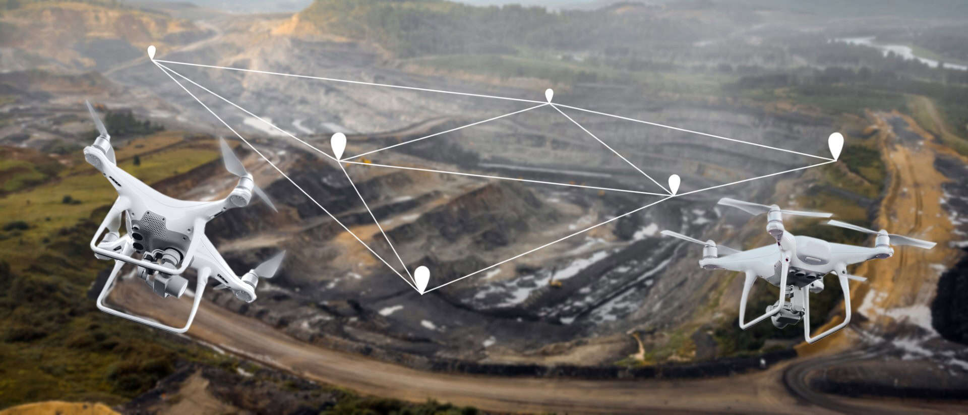
nOur drone topographic surveys can capture detailed information about terrain, levels and visible site features. Depending on the agreed specification, the collected data can be processed into orthomosaic mapping, digital elevation models, contour information and three-dimensional representations for use within wider engineering workflows.n
nMore complex projects may benefit from our drone LiDAR and 3D scanning. LiDAR can collect dense spatial data across irregular terrain, infrastructure and environments containing vegetation. Our team will review the site conditions, required accuracy and intended outputs before advising which survey method is appropriate.

Drone Inspections and Progress Documentation
Civil engineering projects often include assets or locations that are difficult to examine using ground-level photography. Our drone inspection services can collect detailed imagery of visible parts of structures, roofs, façades, retaining features and infrastructure assets, providing engineers with evidence that can support further professional assessment.
During construction, repeat aerial capture can document changes across the complete site. Earthworks, access routes, foundations, structures and completed sections can be recorded from agreed viewpoints, creating a consistent visual history of the project.
Our drone photography and videography can be scheduled around important milestones or completed at regular intervals. Our experienced team will agree the required coverage before the first visit, helping produce useful imagery for reports, meetings and stakeholder updates.
A Technical Partner for Civil Engineering Teams
Drone data is most valuable when it is captured around a defined engineering requirement. Bottomley Drone Solutions begins each project by discussing the site, required coverage, intended use of the information and preferred deliverables. This allows us to recommend an appropriate sensor and flight plan.n
nOur knowledge of civil engineering, construction, rail and utility environments helps us anticipate common site considerations. We coordinate with the responsible project team to understand access arrangements, vehicle movements, working areas and known hazards before attending.n
nClear communication is maintained from initial planning through to delivery of the agreed imagery or survey information. Whether you require aerial mapping for a development site, infrastructure inspection imagery or recurring construction monitoring, you can request a free drone survey quote tailored to your Middlesbrough project.
Discuss Your Survey Project With Us
Drone Services for Civil Engineers Across Middlesbrough
We provide drone surveying and inspection support throughout Middlesbrough, including the town centre, Middlehaven, Riverside Park, North Ormesby, Linthorpe, Acklam, Marton and Hemlington. We also support suitable projects across Stockton-on-Tees, Billingham, Redcar, Hartlepool, Stokesley, Darlington and the wider Teesside region.
Local projects can range from compact urban development and commercial construction to larger infrastructure, industrial and utility sites. Each environment presents different requirements for access, flight planning and coordination. Operations near public areas, transport routes or active industrial facilities may require additional controls before aerial work can proceed.
Providing an accurate site location and clear project brief allows us to review the surrounding environment and identify any initial operational considerations. Our team can then recommend a suitable capture method and provide a quotation based on the required survey area and deliverables.

Frequently Asked Questions
If you require drone data for a civil engineering project in Middlesbrough, the answers below explain more about our survey capabilities, deliverables and planning process.
Drone surveys provide civil engineers with an efficient way to collect detailed aerial information across large, complex or difficult-to-access sites. They can document terrain, visible features, structures and changing construction conditions from a consistent perspective. This information may support feasibility assessments, design development, earthworks monitoring, infrastructure inspections and project reporting. Drone technology can also reduce the amount of time personnel need to spend in restricted or potentially hazardous parts of a site. The appropriate survey method will depend on the required accuracy and intended application, which we will establish before preparing the proposed operation.
The available outputs depend on the selected sensor, flight plan and project specification. Our surveys can provide high-resolution aerial imagery, orthomosaic maps, elevation information, contour data, point clouds and three-dimensional site models. Inspection projects may require detailed photographs or video of specific assets, while construction monitoring may focus on consistent imagery from agreed viewpoints. We will discuss the required file formats, level of detail and intended use before data collection begins. This ensures the flight is designed around useful project deliverables rather than collecting unnecessary imagery that does not meet the engineering team’s requirements.
Drone operations may be possible at industrial, rail and utility sites, although these environments require detailed planning and coordination. We need to understand site access, working areas, nearby personnel, operational infrastructure and any restrictions imposed by the responsible asset owner or principal contractor. Additional permissions may be necessary where a proposed flight affects controlled land, transport infrastructure or restricted airspace. Every operation is assessed against applicable Civil Aviation Authority drone guidance and the conditions present at the site. We will review the location and project brief before confirming whether the survey can proceed and what controls may be required.
No. A drone inspection provides detailed visual information that can support an engineer’s assessment, but it does not replace professional engineering judgement, physical testing or specialist investigation. Drones can capture photographs and video of many visible areas of structures and infrastructure that may be difficult to access initially. Engineers can use this information to identify areas requiring closer attention and plan more targeted access where necessary. Concealed, internal or obstructed components cannot be fully assessed using aerial imagery alone. The findings and condition of an asset should always be interpreted by the appropriately qualified engineering professional responsible for the project.
Before the flight, provide the site address, project contact, survey boundaries and details of the required outputs. We will also need information about access arrangements, working hours, vehicle movements, lifting operations and known hazards. If the site is active, the operation should be discussed with the principal contractor or responsible site manager so that it can be coordinated with other work. Certain areas may need to remain clear during data capture. Early communication helps us prepare an appropriate flight plan, complete the necessary assessment and minimise disruption when attending the site.
Yes. Bottomley Drone Solutions supports civil engineering, construction and infrastructure projects across the North East and Yorkshire. Our other location pages cover civil engineers in Sunderland, Newcastle, York and Leeds. We can also consider projects in Stockton-on-Tees, Redcar, Hartlepool, Darlington, County Durham and other UK locations. Provide the site postcode or coordinates and a summary of the required service so that we can assess travel, surrounding airspace, site access and other operational requirements before confirming availability.