

Civil Engineers in Sunderland
Bottomley Drone Solutions provides professional aerial surveying and inspection support for civil engineers in Sunderland. We capture detailed site information for construction, infrastructure, utilities, rail, coastal and land development projects, helping engineering teams evaluate sites and make informed decisions.
Our services include drone topographic surveys, LiDAR and 3D scanning, infrastructure inspections, aerial mapping and construction progress photography. Each flight is planned around the project environment and required outputs, providing engineers, contractors and project managers with dependable aerial information throughout the development process.
Get A Free Quote
Benefits of Drone Technology for Civil Engineering
Drone surveying provides civil engineers with detailed aerial information while helping reduce the time and physical access required to examine large or challenging sites.
Comprehensive Site Coverage
Aerial capture provides a detailed overview of terrain, structures, access routes and visible features across the complete survey area.
Efficient Survey Operations
Large construction sites and infrastructure corridors can be captured quickly with limited disruption to ongoing site activity.
Reduced Physical Access
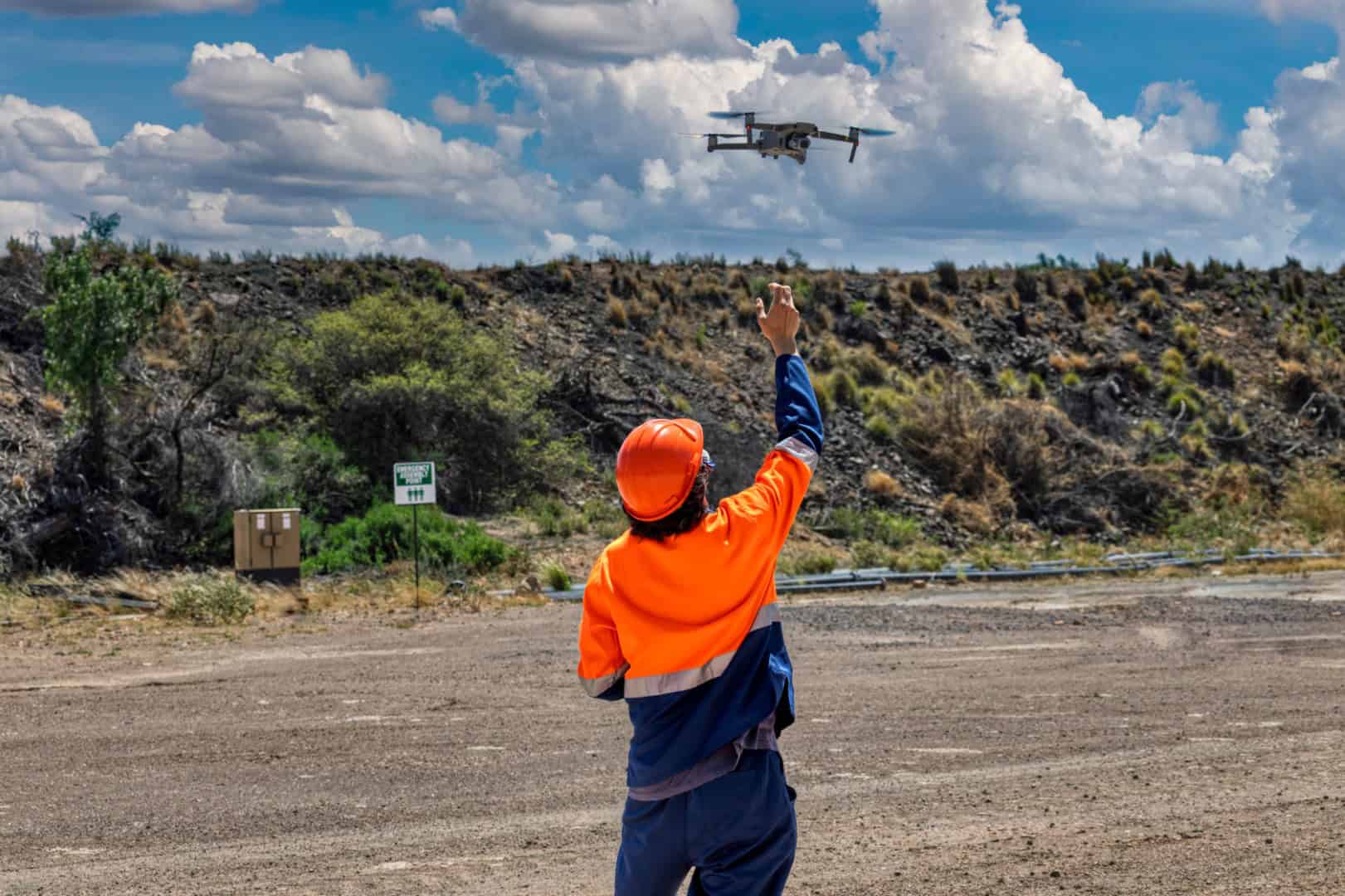
Drones can collect imagery from elevated, restricted or potentially hazardous areas while operators remain in an appropriate ground-level position.
Detailed Mapping Data
Survey information can be processed into orthomosaic imagery, elevation models, point clouds, contours and three-dimensional site representations.
Repeatable Progress Monitoring
Planned flight paths and consistent viewpoints create comparable records of earthworks, construction activity and site development.
Safety-Focused Operations
Safety-Focused Operations
Aerial Surveying for Civil Engineering Projects in Sunderland
Civil engineering projects require accurate information about the existing site, surrounding land and infrastructure. At Bottomley Drone Solutions, we support engineers, contractors, developers and project managers throughout Sunderland by providing professional aerial surveying, mapping and inspection services. For existing buildings, our aerial roof inspections can help document visible roof conditions before closer assessment.
Drone data can be captured during early feasibility work, design development, site preparation, construction and ongoing asset management. The aerial perspective allows project teams to review an extensive area in context, making it easier to understand how terrain, structures, access routes and neighbouring features relate to each other.
Our connection to the wider Bottomley group gives us an understanding of the operational demands found in civil engineering and construction environments. Before completing a flight, we establish what the client needs to assess, the level of detail required and how the resulting information will be used.
Mapping and Inspection Data for Complex Sites
Sunderland includes urban development, river crossings, coastal environments, transport infrastructure and established industrial areas. Projects within these settings may involve extensive terrain, restricted access, elevated structures or active working areas that can be difficult to document using conventional photography alone.n
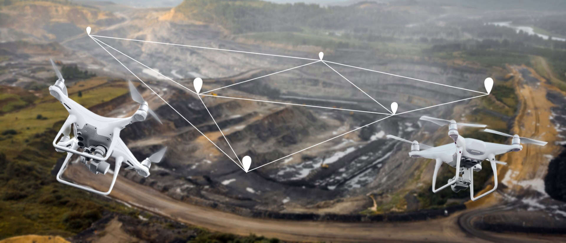
nOur drone topographic surveys capture detailed information about visible site features, terrain and levels. Depending on the survey specification, data can be processed into orthomosaic maps, digital elevation models, contour information and three-dimensional representations suitable for wider engineering workflows.n
nWhere the terrain, vegetation or structure requires more detailed spatial capture, our drone LiDAR and 3D scanning can provide dense point cloud data. We will review the project objectives, site conditions and required deliverables before recommending whether photogrammetry, LiDAR or another approach is appropriate.

Monitoring Infrastructure, Earthworks and Construction Progress
Drone surveys can support project teams from initial site preparation through to completion. During early construction stages, aerial capture can document existing conditions, earthworks, compounds and access arrangements. As the project develops, repeat visits can create a consistent visual record of structures, drainage features, routes and completed sections.
Our professional drone photography and videography can be scheduled at agreed project milestones or completed regularly throughout the construction programme. The resulting imagery can support progress reports, meetings and stakeholder updates by providing a clear overview of the site at a specific point in time.
Our experienced drone team can work to an agreed capture brief, maintaining similar viewpoints and coverage where conditions allow. This creates a more useful project record and makes changes between visits easier to review.
Technical Drone Experience for Demanding Projects
A civil engineering drone survey must be planned around more than the size of the site. Surrounding land use, site activities, structures, access restrictions, airspace and the required data must all be considered before the operation begins. Bottomley Drone Solutions approaches every project individually to ensure the proposed method is appropriate.n
nWe communicate with the responsible site team before attending and obtain relevant information about working areas, vehicle movements, hazards and operational restrictions. This allows us to coordinate the flight with ongoing activity and minimise unnecessary disruption to the construction programme.n
nFrom the initial enquiry to the delivery of the agreed outputs, we provide clear communication and professional project management. Whether your requirements involve aerial mapping, LiDAR data, infrastructure imagery or repeated progress monitoring, you can discuss your project with our team and receive a tailored quotation.
Discuss Your Survey Project With Us
Drone Services for Civil Engineers Across Sunderland
We provide civil engineering drone services throughout Sunderland, including the city centre, Riverside Sunderland, Pallion, Southwick, Hendon, Ryhope, Silksworth, Doxford Park, Roker and Seaburn. Our coverage also extends to Washington, Houghton-le-Spring and suitable projects across South Tyneside and County Durham.
The planning requirements can vary considerably between sites. A riverfront or coastal asset may require detailed consideration of surrounding structures, access and environmental conditions. An urban regeneration site may involve public areas, neighbouring properties and active construction, while a larger industrial or infrastructure project may require extensive mapping coverage.
We review each proposed site before confirming how the operation can proceed. Providing the site address, postcode or coordinates allows our team to assess the surrounding environment, relevant airspace and any permissions or coordination that may be necessary.

Frequently Asked Questions
If you are considering aerial surveying or inspections for a civil engineering project in Sunderland, the answers below provide more information about the available services and planning process.
A drone survey can be commissioned during feasibility assessments, design development, site preparation, construction or ongoing asset management. Early-stage drone topographic surveys can document terrain, levels and visible site features before detailed work begins. During construction, repeat aerial capture can monitor earthworks and structural progress. Drone imagery can also support an engineer’s initial review of an existing asset before more targeted access is arranged. The most suitable timing depends on the decisions the data needs to support, so we recommend discussing the project objectives and programme before booking the flight.
We can assess a wide variety of construction and infrastructure environments, including development land, earthworks sites, transport corridors, utilities, industrial premises, riverfront locations and accessible coastal assets. The suitability of a drone survey depends on the surrounding environment, airspace, required coverage and presence of people or active site operations. Some projects may require additional permissions or coordination before a flight can proceed. We review the proposed location individually and plan the operation around the available access, site activity and intended outputs rather than applying the same survey method to every civil engineering project.
Drone surveys can capture detailed surface information that may support earthworks monitoring and volumetric analysis when processed using suitable methods. Repeat surveys can record changes in ground profiles, stockpiles and excavated areas between different project stages. The required accuracy, control and processing method must be agreed before data collection, particularly where the results will be used for measurement or commercial decisions. We will discuss the intended purpose of the data and confirm the available deliverables before the flight. Any calculations used for formal engineering or contractual purposes should be checked and interpreted by the appropriately qualified project professional.
Our drone inspection services can capture detailed photographs and video of many visible areas of bridges, roofs, façades, towers, retaining structures and other infrastructure assets. This can provide engineers with useful visual evidence while reducing the need for immediate physical access to elevated or restricted areas. Drones cannot see through structures or examine concealed components, so further investigation may still be required. The purpose of the flight is to support professional assessment by gathering clear imagery of agreed areas. We will review the structure, viewing angles, surrounding environment and access restrictions before confirming whether an aerial inspection is suitable.
Survey cost and timescale depend on the size and location of the site, required level of detail, selected sensor, number of flights and final deliverables. Active construction environments, complex airspace, public areas and restricted access may require additional planning or coordination. Processing requirements can also affect turnaround, particularly where the project requires detailed maps, elevation models or point cloud data rather than general imagery. Providing a site plan, postcode, approximate area and clear description of the required outputs allows us to prepare a more accurate quotation. All flights remain dependent on suitable weather and safe operating conditions.
Yes. We provide professional drone services across the North East and Yorkshire. Our other location pages cover civil engineers in Newcastle, Middlesbrough, York and Leeds. We can also consider projects elsewhere in Tyne and Wear, County Durham, Teesside, Northumberland and other UK locations. Coverage will depend on the site, required service and project scale. Send the address, postcode or coordinates with your enquiry so that we can assess travel, surrounding airspace and operational requirements before confirming availability.