Our Services
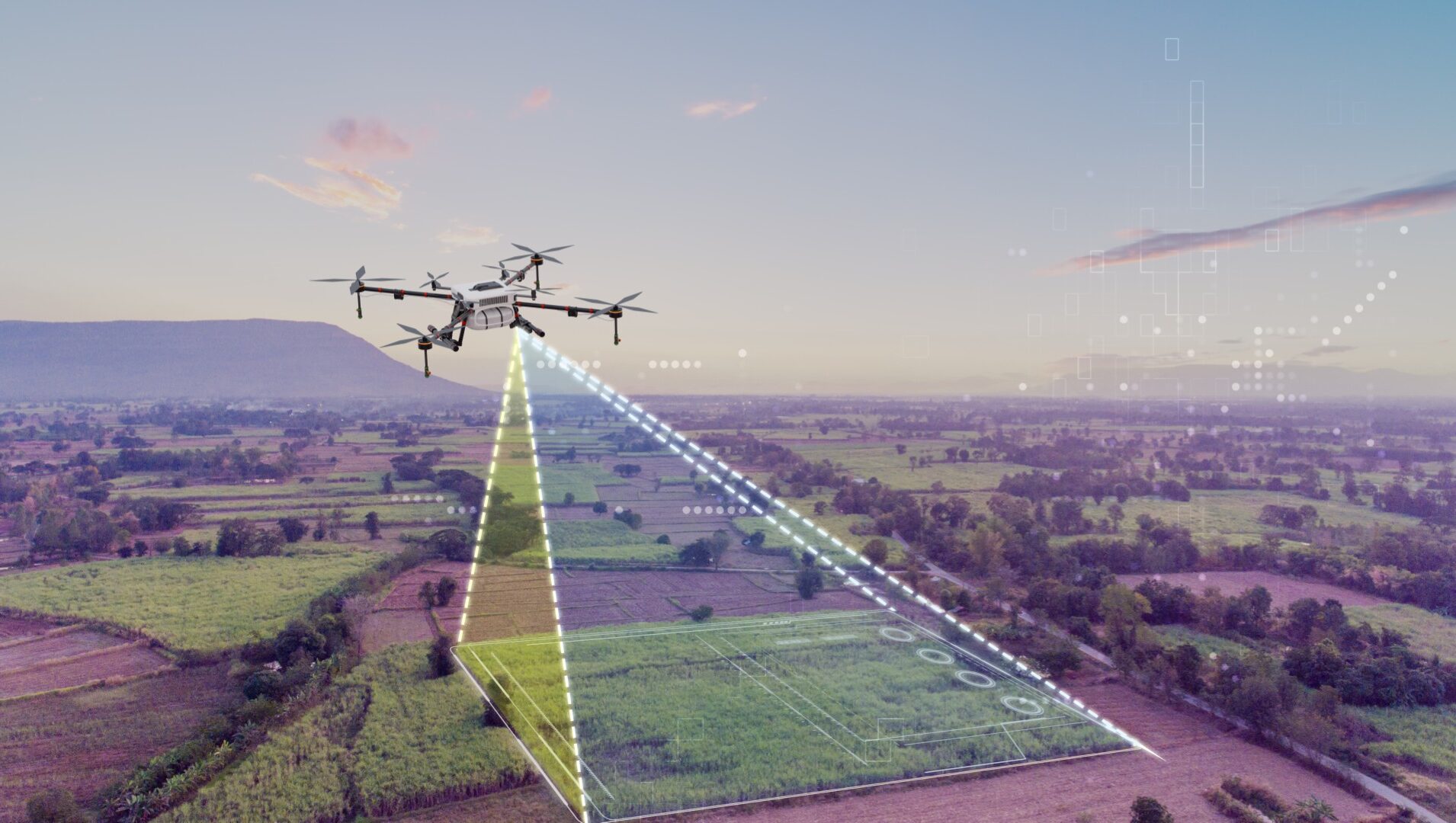
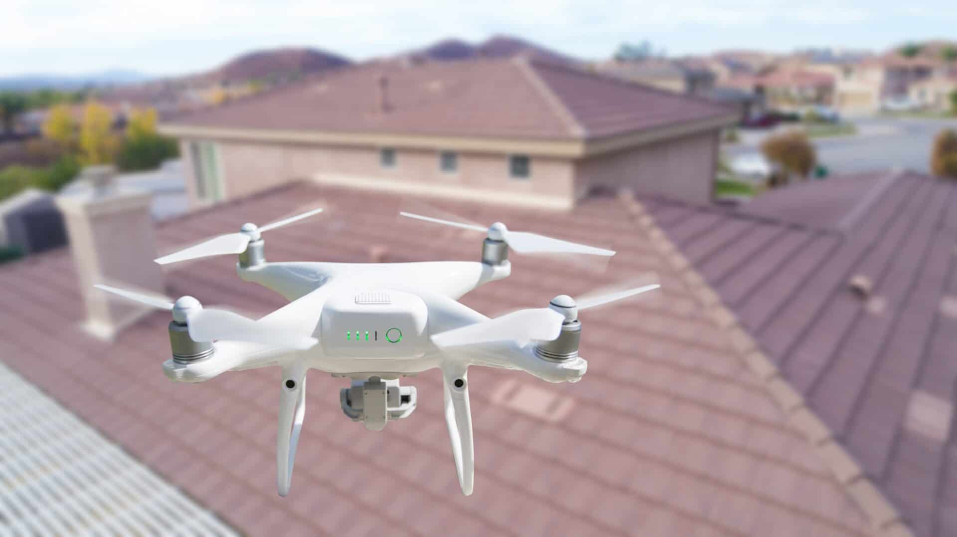
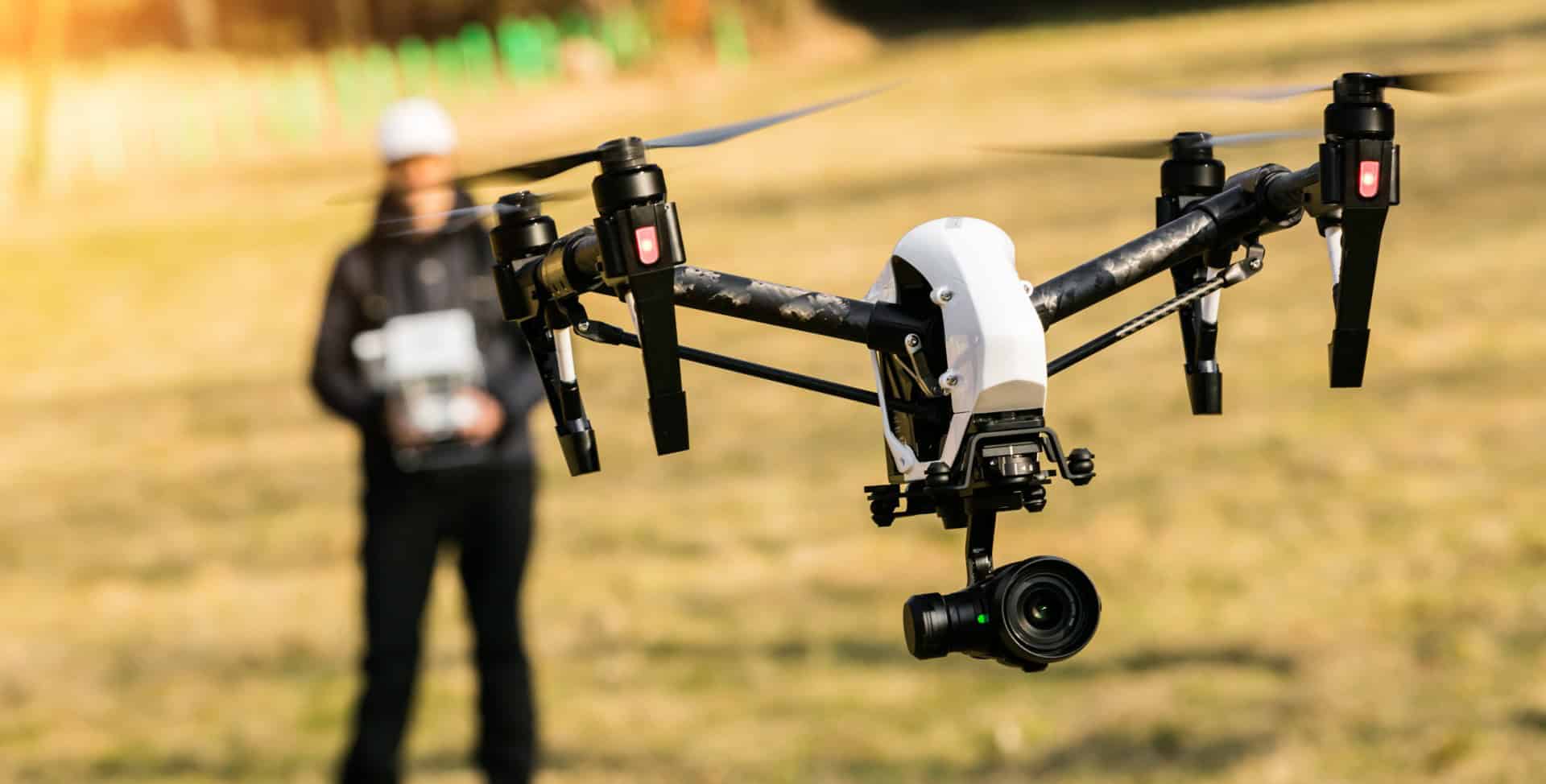
Explore our range of professional drone solutions across Middlesbrough and the wider North East, including topographic surveys, LiDAR scanning, drone inspections and aerial photography and videography.
Explore our range of professional drone solutions across Middlesbrough and the wider North East, including topographic surveys, LiDAR scanning, drone inspections and aerial photography and videography.