
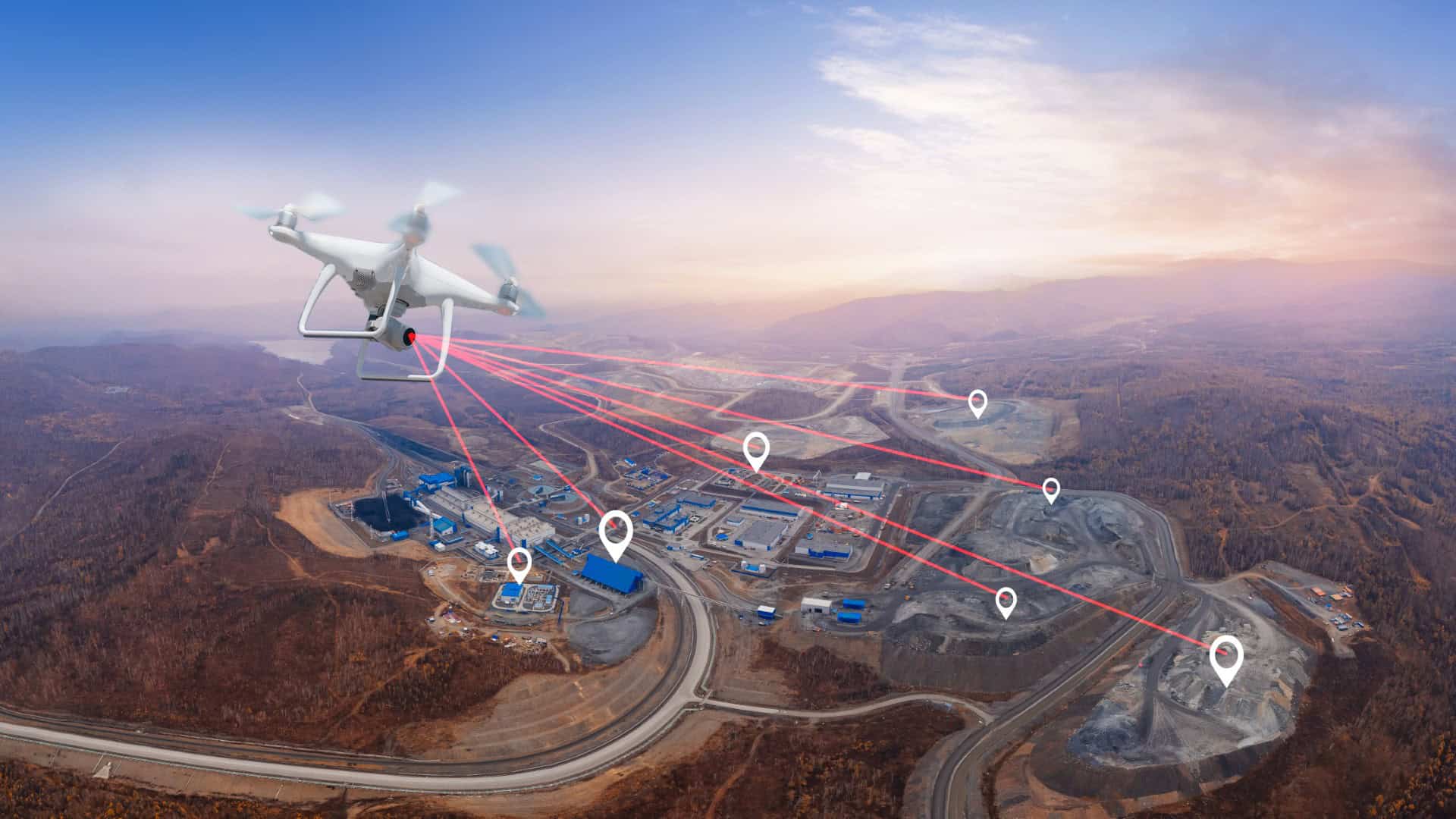
Drone LiDAR & 3D Scanning Newcastle
At Bottomley Drone Solutions, we deliver professional drone LiDAR and 3D scanning services in Newcastle, capturing highly accurate spatial data and detailed three-dimensional models for construction, civil engineering and infrastructure projects. Using advanced aerial scanning technology, we efficiently collect detailed information about terrain, structures and complex environments, helping clients make informed decisions throughout the planning, design and management of their projects.
Get A Free Quote
Benefits of Drone LiDAR and 3D Scanning
Our drone LiDAR and 3D scanning services in Newcastle provide highly accurate spatial data and detailed 3D mapping for construction, infrastructure and engineering projects throughout Tyne and Wear.
Millimetre-Level Precision
LiDAR technology captures dense point cloud data with exceptional accuracy, suitable for the most demanding engineering and modelling requirements
Complex Environment Coverage
Capable of scanning structures, assets and terrain in environments where traditional ground-based methods are impractical or unsafe
Rapid Data Collection
Large and complex sites scanned efficiently in a fraction of the time compared to conventional survey methods, reducing project delays
BIM and CAD Ready Outputs
Point cloud data and 3D models delivered in formats compatible with leading BIM, CAD and GIS platforms for immediate use in design workflows
Improved Operator Safety
Remote scanning eliminates the need for operatives to access hazardous, restricted or difficult-to-reach areas during data collection
Fully Compliant Operations
All LiDAR and scanning flights are carried out under full CAA authorisation by experienced and insured operators with a strong safety record
Professional Drone LiDAR and 3D Scanning in Newcastle
Advanced LiDAR technology provides an effective way to capture detailed spatial information across complex landscapes, structures and development sites. At Bottomley Drone Solutions, we offer professional drone LiDAR and 3D scanning in Newcastle, helping construction companies, civil engineers and infrastructure contractors obtain accurate three-dimensional data for planning, design and asset management. Our aerial surveying approach enables large or challenging environments to be mapped efficiently, reducing the time required for conventional ground-based data collection.
LiDAR technology uses laser pulses to measure distances and generate detailed point clouds containing millions of individual data points. These can be processed into accurate 3D models, making the technology particularly valuable for surveying uneven terrain, vegetation-covered land and complex infrastructure. Our team carefully plans each operation around the specific requirements of the site, ensuring that clients receive reliable spatial information suited to their project objectives.
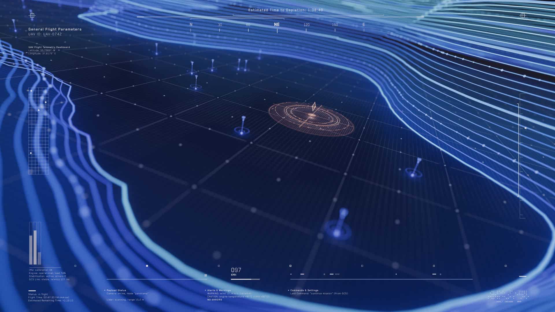
Accurate 3D Mapping for Newcastle Construction Projects
Accurate three-dimensional modelling plays an important role in modern construction and infrastructure projects, helping engineers, developers and contractors visualise complex environments and make informed decisions. At Bottomley Drone Solutions, our drone LiDAR and 3D scanning services in Newcastle capture detailed spatial information that can be transformed into reliable digital representations of land, buildings and infrastructure assets.
The point cloud data collected during our aerial surveys can be processed into various outputs, including detailed 3D models, digital terrain models and information suitable for integration into Building Information Modelling (BIM) workflows. These deliverables support everything from preliminary site assessments and engineering design to construction monitoring and long-term asset management.
Supported by the wider Bottomley group's experience across civil engineering, rail and utilities, we understand the technical requirements of complex projects. Our approach ensures clients receive usable, high-quality spatial data tailored to their specific surveying and modelling objectives.
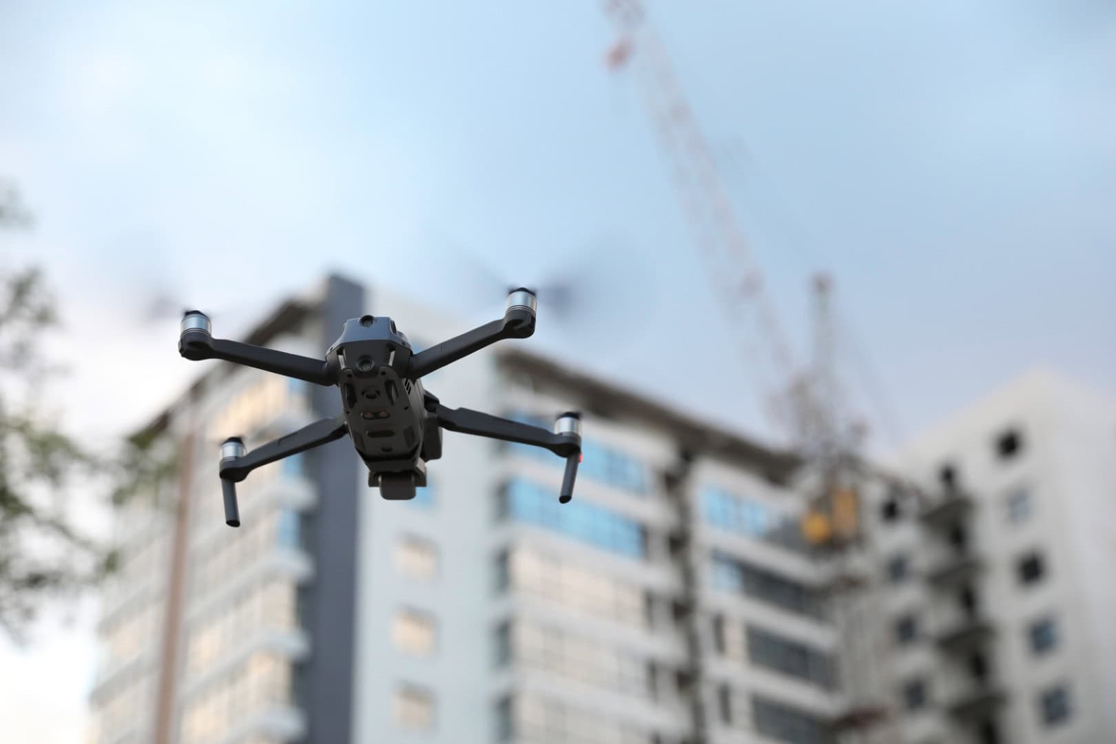
Where Drone LiDAR Offers Advantages Over Traditional Surveying
Conventional surveying methods can present challenges when working across large development sites, uneven terrain or locations with restricted access. Our drone LiDAR services in Newcastle provide an efficient alternative, capturing detailed spatial information from the air while reducing the need for extensive ground-based surveying. This approach can shorten data collection times, minimise disruption and limit personnel exposure to potentially hazardous environments.
LiDAR is particularly valuable when surveying areas with dense vegetation, complex ground features or intricate infrastructure, where traditional photogrammetry may have limitations. Its ability to capture detailed point cloud data makes it suitable for a wide range of construction and engineering applications. Where additional site information is required, our drone topographic surveys in Newcastle can complement LiDAR scanning, providing further mapping and elevation data to support accurate project planning and design.
Why Choose Bottomley Drone Solutions?
At Bottomley Drone Solutions, we combine advanced aerial scanning technology with extensive experience in construction and civil engineering to deliver reliable drone LiDAR and 3D scanning in Newcastle. Our technical understanding allows us to approach complex surveying projects with confidence, capturing detailed spatial information that meets each client's individual requirements.
Safety, accuracy and careful planning remain central to our service, with appropriate risk assessments and all flights conducted in accordance with applicable CAA regulations. Drawing on our team's industry experience, we maintain clear communication throughout every project, from the initial consultation through to the delivery of final data outputs. To discuss your surveying requirements or request a free, no-obligation quotation, simply get in touch.

Discuss Your Survey Project With Us
Trusted Aerial Solutions
Professional Drone Services You Can Rely On
- ✓ Drone Topographic Surveys and Land Mapping
- ✓ Drone LiDAR and 3D Scanning
- ✓ Drone Inspections
- ✓ Drone Photography and Videography
- ✓ Experienced, Compliant and Safety-Focused Team

Drone LiDAR and 3D Scanning Across Newcastle and Surrounding Areas
At Bottomley Drone Solutions, we provide professional drone LiDAR and 3D scanning in Newcastle and throughout the surrounding areas, including Gateshead, North Shields, Whitley Bay, Wallsend, Washington, South Shields and the wider Tyne and Wear region. Our aerial scanning services support construction, civil engineering and infrastructure projects, delivering detailed spatial data and accurate 3D mapping for a variety of commercial and industrial applications.
Every scanning project is carefully planned around the specific requirements of the site, with consideration given to terrain, accessibility and the data outputs needed. Whether you require detailed mapping for a new development or three-dimensional information for an existing structure, our team provides a reliable and professional service. To discuss your project or confirm coverage in your area, please contact Bottomley Drone Solutions for further information.
Frequently Asked Questions
If you’re considering professional drone LiDAR and 3D scanning in Newcastle, you may have questions about the technology, data accuracy and how it can benefit your project. Below, we answer some common enquiries from construction, engineering and infrastructure clients throughout Newcastle, Tyne and Wear and the surrounding areas.
Drone LiDAR is particularly useful when construction or infrastructure projects require detailed spatial information across large, complex or difficult-to-access sites. At Bottomley Drone Solutions, we use aerial LiDAR technology to capture accurate terrain and structural data, supporting planning, engineering design and development work throughout Newcastle. The technology can be especially beneficial when surveying uneven ground, vegetation-covered land or locations where conventional methods present accessibility challenges. By generating detailed point cloud information, drone LiDAR helps contractors and engineers understand existing site conditions, identify potential constraints and make informed decisions before and during construction.
Yes, drone LiDAR is particularly effective when surveying land containing trees, shrubs and other vegetation. Unlike conventional aerial photography, LiDAR uses laser pulses to collect spatial measurements, with some pulses passing through gaps in vegetation to reach the ground beneath. This information can then be processed to produce detailed terrain models, helping surveyors understand ground conditions that may otherwise be obscured. The results depend on factors such as vegetation density, sensor configuration and survey conditions. This makes drone LiDAR a valuable option for development sites, infrastructure corridors and land assessment projects throughout Newcastle and the surrounding areas.
Yes, drone LiDAR data can complement conventional and aerial topographic surveying, providing additional three-dimensional information for construction and engineering projects. At Bottomley Drone Solutions, we can use LiDAR scanning alongside our drone topographic surveys in Newcastle to help clients develop a more comprehensive understanding of their site. Depending on project requirements, the resulting data can support terrain modelling, elevation analysis, volumetric calculations and design workflows. Combining appropriate surveying methods can be particularly useful for complex development sites or infrastructure projects where detailed information about existing ground conditions and surrounding features is required.
The cost of professional drone LiDAR and 3D scanning in Newcastle depends on the size and complexity of the site, accessibility, survey objectives and the level of detail required. Larger infrastructure projects or locations with challenging terrain may require additional planning, data collection and processing. The type of deliverables requested, including point clouds, digital terrain models or detailed 3D mapping, can also influence pricing. At Bottomley Drone Solutions, we assess each enquiry individually to provide an appropriate surveying solution. To discuss your requirements and receive a free, no-obligation quotation, please contact our team directly.