

Professional Drone Topographic Surveys in Newcastle
At Bottomley Drone Solutions, we provide professional drone topographic surveys in Newcastle, delivering accurate aerial mapping and detailed land data for construction, civil engineering and development projects. Using advanced drone surveying technology, we efficiently capture site information across a variety of terrains, helping clients understand existing ground conditions, plan developments and make informed decisions while reducing the time required for traditional surveying methods.
Get A Free Quote
Benefits of Drone Topographic Surveys
Our drone topographic surveys in Newcastle provide construction, civil engineering and infrastructure teams with accurate site data, faster coverage and a safer alternative to conventional ground surveying methods.
Highly Accurate Data
Centimetre-level accuracy across large and complex terrain using advanced drone sensors
Faster Site Coverage
Large areas surveyed in hours rather than days compared to traditional ground methods
Reduced Site Risk
No need for operatives to work at height or access dangerous or restricted areas
Cost Efficient
Reduced mobilisation costs and fewer site visits without compromising on data quality
Detailed Mapping Outputs
Orthomosaic maps, contour plans and 3D point clouds ready for CAD and BIM workflows
CAA Compliant Operations
All flights carried out under full CAA authorisation by experienced and insured pilots
Professional Drone Topographic Surveys in Newcastle
Accurate land surveying plays an important role in construction, civil engineering and development projects, providing the detailed information needed to understand site conditions and plan work effectively. At Bottomley Drone Solutions, we deliver professional drone topographic surveys in Newcastle, helping contractors, engineers and developers obtain reliable data on ground levels, terrain features and site characteristics. Our aerial surveying approach offers an efficient way to assess land across both smaller development plots and larger, more complex sites throughout Newcastle and Tyne and Wear.
Using advanced drone technology, we capture detailed aerial data that can be processed into mapping and modelling outputs to support site planning, design, volumetric calculations and construction progress monitoring. Our methods allow substantial areas to be surveyed efficiently, reducing the time spent on site while minimising disruption to ongoing operations. Every project is carefully planned around the specific requirements of the location, with all flights conducted in accordance with applicable CAA regulations to deliver a safe, professional and dependable surveying service.
Accurate Land Mapping for Construction and Infrastructure in Newcastle
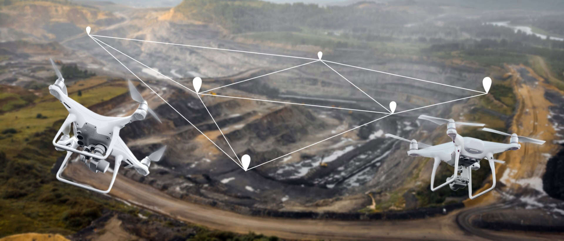
Reliable land mapping provides the foundation for successful construction, engineering and infrastructure projects. At Bottomley Drone Solutions, we offer professional drone land mapping in Newcastle, capturing detailed aerial information that helps developers, contractors and project managers understand site conditions before and during construction. Our surveying technology allows us to efficiently map varying terrain, including development land, commercial sites and complex infrastructure environments.
Our drone surveys capture valuable information about ground elevations, existing features and site topography, which can be processed into detailed mapping outputs suited to individual project requirements. Supported by the wider Bottomley group's experience across civil engineering, rail and utilities, we understand the importance of delivering accurate, usable survey data. This enables us to provide information that integrates with existing design and planning workflows, helping clients make informed decisions throughout their projects.
Advanced Drone Survey Technology
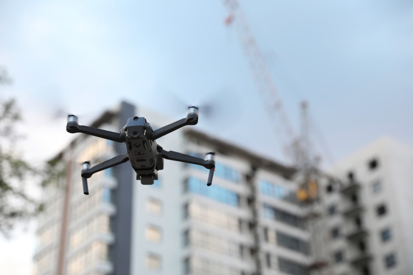
Delivering reliable topographic survey data requires the right combination of specialist equipment, technical knowledge and careful data processing. At Bottomley Drone Solutions, we use professional-grade drone technology and advanced surveying software to provide accurate, detailed information for construction and infrastructure projects throughout Newcastle and the surrounding areas.
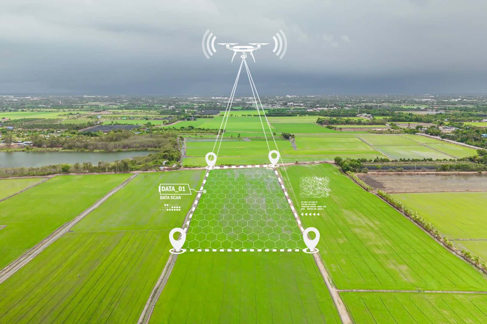
Our drone topographic surveys in Newcastle can produce a variety of outputs, including digital elevation models, orthomosaic maps and contour data, helping engineers, architects and contractors make informed planning and design decisions. For projects requiring additional three-dimensional information, our drone LiDAR and 3D scanning services can provide further insight into complex terrain and site features. Drawing on our team’s experience in civil engineering and surveying, we help clients identify the most suitable technology and approach for their individual project requirements.
Why Choose Bottomley Drone Solutions
At Bottomley Drone Solutions, we combine specialist drone surveying technology with extensive knowledge of construction and civil engineering to deliver dependable drone topographic surveys in Newcastle. Our experience allows us to understand the requirements of complex development and infrastructure projects, providing detailed survey data that supports effective planning and informed decision-making.
Every survey is carefully planned and conducted in accordance with applicable CAA regulations, with safety, accuracy and clear communication remaining central to our approach. We work closely with clients from initial consultation through to the delivery of final survey outputs, ensuring their individual requirements are understood. To discuss your project or request a free, no-obligation quotation, simply get in touch with our team.
Discuss Your Survey Project With Us
Trusted Aerial Solutions
Professional Drone Services You Can Rely On
- ✓ Drone Topographic Surveys and Land Mapping
- ✓ Drone LiDAR and 3D Scanning
- ✓ Drone Inspections
- ✓ Drone Photography and Videography
- ✓ Experienced, Compliant and Safety-Focused Team

Drone Topographic Surveys Across Newcastle and Surrounding Areas
At Bottomley Drone Solutions, we provide professional drone topographic surveys in Newcastle and throughout the surrounding areas, including Gateshead, North Shields, Whitley Bay, Wallsend, Washington, South Shields and the wider Tyne and Wear region. Our aerial surveying and land mapping services support construction, civil engineering and infrastructure projects of varying sizes, delivering accurate site information to help clients plan and manage their developments effectively.
Every survey is tailored to the specific requirements of the site, with careful consideration given to terrain, accessibility and the data outputs needed. Whether you require detailed mapping for a new development or an ongoing survey programme, our team offers a dependable and straightforward service. To discuss your project or confirm coverage in your area, please contact Bottomley Drone Solutions for further information.

Frequently Asked Questions
Considering a drone topographic survey for your upcoming project? Below, we answer some common questions about aerial land surveying, data accuracy and how our services support construction and development projects throughout Newcastle and the surrounding areas.
Drone topographic surveys can deliver highly accurate land mapping data when appropriate equipment, survey control and processing methods are used. At Bottomley Drone Solutions, we use professional drone technology to capture detailed information about site elevations, terrain and existing features. The level of accuracy achievable depends on several factors, including site conditions, survey methodology and the required deliverables. Our team discusses these requirements with clients before commencing work, ensuring the most suitable surveying approach is selected. The resulting data can support construction planning, engineering design, volumetric calculations and other applications where reliable site information is essential.
Yes, drone topographic surveys are particularly beneficial for larger construction and infrastructure projects throughout Newcastle and Tyne and Wear. Aerial surveying allows substantial areas to be mapped efficiently, reducing the time required for conventional ground-based data collection. Our services can support housing developments, commercial construction, civil engineering schemes and infrastructure improvements. Drone surveys are also useful for monitoring site progress and assessing changes in ground conditions throughout a project. Each survey is carefully planned around the size, complexity and accessibility of the location, ensuring the captured information meets the requirements of contractors, engineers and development teams.
Drone LiDAR and photogrammetry are two surveying technologies used to capture detailed information about land and structures. Photogrammetry processes overlapping aerial photographs to create maps and three-dimensional models, while LiDAR uses laser measurements to collect spatial data. LiDAR can be particularly useful when surveying complex terrain or areas with vegetation, although the most suitable method depends on individual site conditions and project requirements. Both technologies offer valuable applications within construction and civil engineering. For a more detailed explanation, read our guide comparing drone LiDAR and photogrammetry for North East construction sites to understand which surveying approach may suit your project.
The cost of a drone topographic survey in Newcastle depends on several factors, including the size of the site, terrain complexity, accessibility and the level of detail required. The type of survey technology and final data outputs can also influence pricing. At Bottomley Drone Solutions, we assess each project individually to ensure clients receive a suitable surveying solution rather than a generic package. Whether you require aerial mapping for a small development plot or detailed topographic information for a larger infrastructure project, our team can discuss your requirements and provide a free, no-obligation quotation tailored to your needs.