
From the moment I reached out, the customer service was top-notch. They listened to what I needed, delivered on time, and the quality was just superb. I’m beyond impressed with the entire experience!

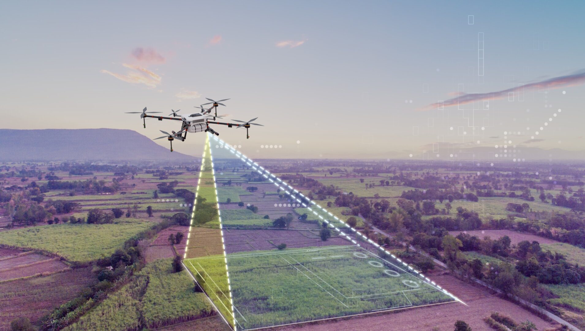
We provide comprehensive drone services throughout Newcastle and Tyne and Wear, specialising in topographic surveys, LiDAR and 3D scanning, structural inspections, and professional aerial photography and videography.

Get Started
Looking for professional drone services in Newcastle? Whether your project requires an accurate topographic survey, advanced LiDAR and 3D scanning, structural inspections or high-quality aerial photography, Bottomley Drone Solutions is here to help. Contact us today to discuss your requirements and request a free, no-obligation quote. We support clients throughout Newcastle and the wider Tyne and Wear area, working across construction, civil engineering, rail, utilities and commercial sectors to deliver precise aerial data and dependable results.
Drone Solutions
Discover what our clients have to say about the professional drone surveying, inspection and aerial services we deliver across Newcastle and the wider North East.
From the moment I reached out, the customer service was top-notch. They listened to what I needed, delivered on time, and the quality was just superb. I’m beyond impressed with the entire experience!
Absolutely outstanding! The team was incredibly helpful and made everything so easy. The results speak for themselves, and I couldn’t be happier. I’ll be recommending them to everyone I know!
Quick, reliable, and great value. The whole experience was smooth, and I was impressed with the quality of service provided. Highly recommended!
Friendly, efficient, and professional. The service exceeded my expectations, and the final result was even better than I hoped for. I’ll definitely be a returning customer!
At Bottomley Drone Solutions, we provide a comprehensive range of drone services across Middlesbrough and the wider North East, supporting clients in construction, civil engineering, rail, utilities and a range of other sectors. Our drone solutions are designed to deliver accurate, efficient and cost-effective results, reducing the need for traditional survey methods and improving the speed and quality of data collection.
We work with both commercial and industrial clients, adapting our approach to suit the requirements of each project. Whether you need precise topographic survey data, detailed 3D scanning, structural inspections or high-quality aerial imagery, our team is equipped to deliver. By combining technical expertise with the latest drone technology, we ensure that every project is completed safely, accurately and to the highest standard of quality.

Our specialist drone services provide valuable benefits for construction, infrastructure and engineering projects throughout Newcastle, Tyne and Wear and the surrounding North East region.
Centimetre-level accuracy across large and complex terrain using advanced drone sensors
Large areas surveyed in hours rather than days compared to traditional ground methods
No need for operatives to work at height or access dangerous or restricted areas
Reduced mobilisation costs and fewer site visits without compromising on data quality
Orthomosaic maps, contour plans and 3D point clouds ready for CAD and BIM workflows
All flights carried out under full CAA authorisation by experienced and insured pilots
Drone technology is helping construction, civil engineering and infrastructure teams throughout Newcastle manage projects with greater efficiency and access detailed site information. At Bottomley Drone Solutions, we combine specialist aerial surveying capabilities with the technical experience of the wider Bottomley group, providing dependable drone services suited to the challenges of commercial developments and complex engineering environments.
Our solutions support projects at every stage, from gathering accurate topographic information for initial planning and design to monitoring construction progress and inspecting buildings, structures and infrastructure assets.
Trusted Aerial Solutions


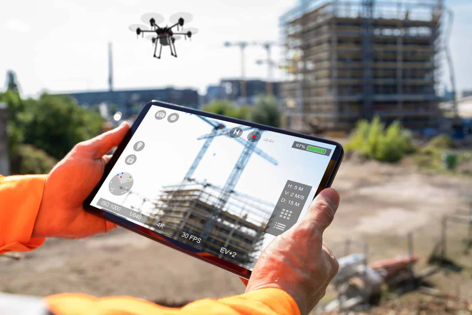
Choosing the right drone services provider in Newcastle is essential when your project depends on accurate information, reliable results and a professional approach. At Bottomley Drone Solutions, we combine advanced drone technology with the established technical expertise of the wider Bottomley group. Our experienced team supports construction, civil engineering, infrastructure and commercial projects, maintaining high standards of safety, regulatory compliance and workmanship, regardless of the size or complexity of each assignment.
We recognise that dependable aerial data is vital for effective planning, monitoring and decision-making, which is why our services are tailored to meet individual project requirements. From initial discussions and flight planning through to delivering detailed survey information, inspection reports and professional imagery, we maintain clear communication at every stage. Whether you require a one-off inspection or ongoing surveying support in Newcastle, get in touch with our team to discuss your project and request a free, no-obligation quotation.
We provide drone solutions across Middlesbrough and the surrounding areas, including Stockton-on-Tees, Darlington, Hartlepool, Sunderland, Newcastle and the wider North East region. Our team regularly works on projects across the region and beyond, delivering the same high standard of service on every job.
Each project is approached with careful planning and attention to detail, ensuring that all operations are carried out safely and in compliance with relevant regulations. Whether you are based in Middlesbrough or a nearby area, we aim to provide a reliable and professional drone service that is straightforward to arrange. If you are unsure whether we cover your location or would like to discuss a specific project, our team will be happy to confirm and provide further information.

Bottomley Drone Solutions offers free, no-obligation quotations for professional drone services throughout Newcastle, Tyne and Wear and the surrounding areas. Contact our team today to discuss your project requirements and find out how we can help.
If you are considering professional drone services for a project in Newcastle, you may have questions about our capabilities, coverage and what to expect when working with us. Below, we answer some of the most frequently asked questions from clients throughout Newcastle, Tyne and Wear and the surrounding areas.
Bottomley Drone Solutions provides a comprehensive range of professional aerial services for construction, commercial and civil engineering projects throughout Newcastle. Our capabilities include topographic surveying, LiDAR and 3D scanning, structural inspections, and aerial photography and videography. Each service is tailored to the requirements of the site, helping clients obtain accurate information while reducing disruption associated with conventional surveying methods. For projects requiring detailed land measurements, terrain mapping or information to support planning and design, our drone topographic surveys in Newcastle provide an efficient way to capture valuable site data. We can also advise on combining different drone services where a project requires multiple types of information.
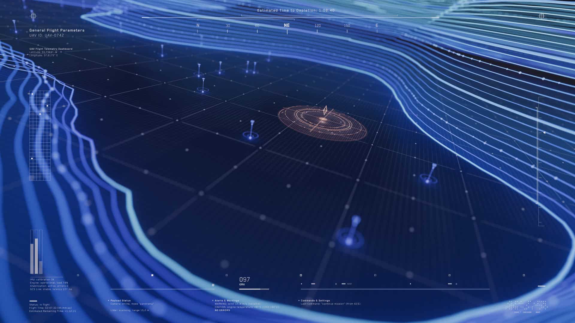
Yes, drone technology can be particularly useful on active construction and infrastructure sites, provided operations are appropriately planned and the necessary safety measures are in place. Our team considers site access, surrounding activity, operational restrictions and project requirements before undertaking any work. Drones can capture aerial information without relying exclusively on conventional ground-based methods, helping project teams monitor progress and assess areas that may otherwise be difficult to access. Our drone LiDAR and 3D scanning services in Newcastle can also provide detailed spatial information and point cloud data to support construction planning, engineering assessments and ongoing project management.
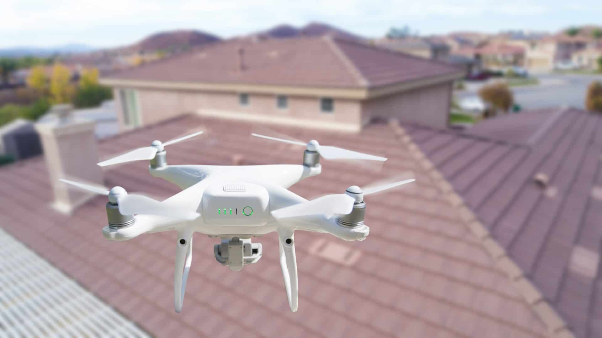
Safety and regulatory compliance are central to the way Bottomley Drone Solutions approaches every project. Before carrying out drone operations in Newcastle, we assess the location, surrounding environment and any relevant operational restrictions to establish a suitable approach. This is especially important when working around buildings, infrastructure, industrial facilities and active commercial premises. Our professional drone inspections in Newcastle can help clients assess structures and assets while reducing the need for personnel to physically access certain elevated or difficult-to-reach areas. We maintain clear communication throughout the process and ensure that each assignment is planned around the specific requirements of the site.
Yes, our drone services extend beyond Newcastle city centre to surrounding locations, including Gateshead, Wallsend, North Shields, Whitley Bay, South Shields, Washington and the wider Tyne and Wear region. We support clients across the North East, adapting our approach to suit individual project locations and operational requirements. Whether you need survey information for a construction development, an inspection of commercial premises or professional aerial imagery, our team can discuss the most suitable solution. Our drone photography and videography services in Newcastle are also available for projects requiring high-quality aerial visuals, including construction progress documentation, commercial property imagery and promotional content.